
Page 7 - DrivingTourBooklet2020
P. 7
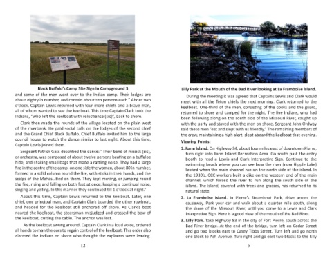
Black Buffalo’s Camp Site Sign in Campground 3                       Lilly Park at the Mouth of the Bad River looking at La Framboise lsland.
        and some of the men went over to the Indian camp. Their lodges are                During the meeting it was agreed that Captains Lewis and Clark would
        about eighty in number, and contain about ten persons each.” About two         meet with all the Teton chiefs the next morning. Clark returned to the
        o’clock, Captain Lewis returned with four more chiefs and a brave man,         keelboat. One-third of the men, consisting of the cooks and the guard,
        all of whom wanted to see the keelboat. This time Captain Clark took the       returned to shore and camped for the night. The five Indians, who had
        Indians, “who left the keelboat with reluctience (sic)”, back to shore.        been following along on the south side of the Missouri River, caught up
           Clark then made the rounds of the village located on the plain west         with the party and stayed with the men on shore. Sergeant John Ordway
        of the riverbank. He paid social calls on the lodges of the second chief       said these men “eat and slept with us friendly.” The remaining members of
        and the Grand Chief Black Buffalo. Chief Buffalo invited him to the large      the crew, maintaining a high alert, slept aboard the keelboat that evening.
        council house to watch the dance similar to last night. About this time,       Viewing Points:
        Captain Lewis joined them.                                                     1. Farm Island. On Highway 34, about four miles east of downtown Pierre,
           Sergeant Patrick Gass described the dance: “Their band of musick (sic),        turn right into Farm Island Recreation Area. Go south past the entry
        or orchestra, was composed of about twelve persons beating on a buffaloe          booth  to  read  a  Lewis  and  Clark  Interpretive  Sign.  Continue  to  the
        hide, and shaking small bags that made a rattling noise. They had a large         swimming beach where you can see how the river (now Hipple Lake)
        fire in the centre of the camp; on one side the women, about 80 in number,        looked when the main channel ran on the north side of the island. In
        formed in a solid column round the fire, with sticks in their hands, and the      the 1930’s, CCC workers built a dike on the western end of the main
        scalps of the Mahas...tied on them. They kept moving, or jumping round            channel,  which  forced  the  river  to  run  along  the  south  side  of  the
        the fire, rising and falling on both feet at once; keeping a continual noise,     island. The island, covered with trees and grasses, has returned to its
        singing and yelling. In this manner they continued till 1 o’clock at night.”      natural state.
           About this time, Captain Lewis returned to the keelboat. Later, one         2. La Framboise Island.  In  Pierre’s  Steamboat  Park,  drive  across  the
        chief, one principal man, and Captain Clark boarded the other rowboat,            causeway.  Park  your  car  and  walk  about  a  quarter  mile  south,  along
        and  headed  for  the  keelboat  still  anchored  off  shore.  As  Clark’s  boat   the shore of the Missouri River, until you come to a Lewis and Clark
        neared the keelboat, the steersman misjudged and crossed the bow of               Interpretive Sign. Here is a good view of the mouth of the Bad River.
        the keelboat, cutting the cable. The anchor was lost.                          3. Lilly Park. Take Highway 83 in the city of Fort Pierre, south across the
              As the keelboat swung around, Captain Clark in a loud voice, ordered        Bad River bridge. At the end of the bridge, turn left on Cedar Street
        all hands to man the oars to regain control of the keelboat. This order also      and go two blocks east to Casey Tibbs Street. Turn left and go north
        alarmed the Indians on shore who thought the explorers were leaving.              one block to Ash Avenue. Turn right and go east two blocks to the Lilly
                                       12                                                                              5